

UNDIP, Temanggung (02/02) – Universitas Diponegoro (UNDIP) continues to demonstrate its commitment to supporting national strategic agendas, one of which is strengthening food security. This commitment is realized through the Thematic Community Service Program (KKNT) Team 145, which actively maps Protected Rice Fields (Lahan Sawah Dilindungi/LSD) in Temanggung Regency using digital technology.
Through this program, the 145th KKNT UNDIP Team conducted comprehensive data collection in rice fields, including land ownership identification, productivity levels, and the condition of irrigation channels supporting food agriculture, particularly rice farming. All collected data were then converted into user-friendly, integrated digital maps that can serve as a basis for policy formulation.
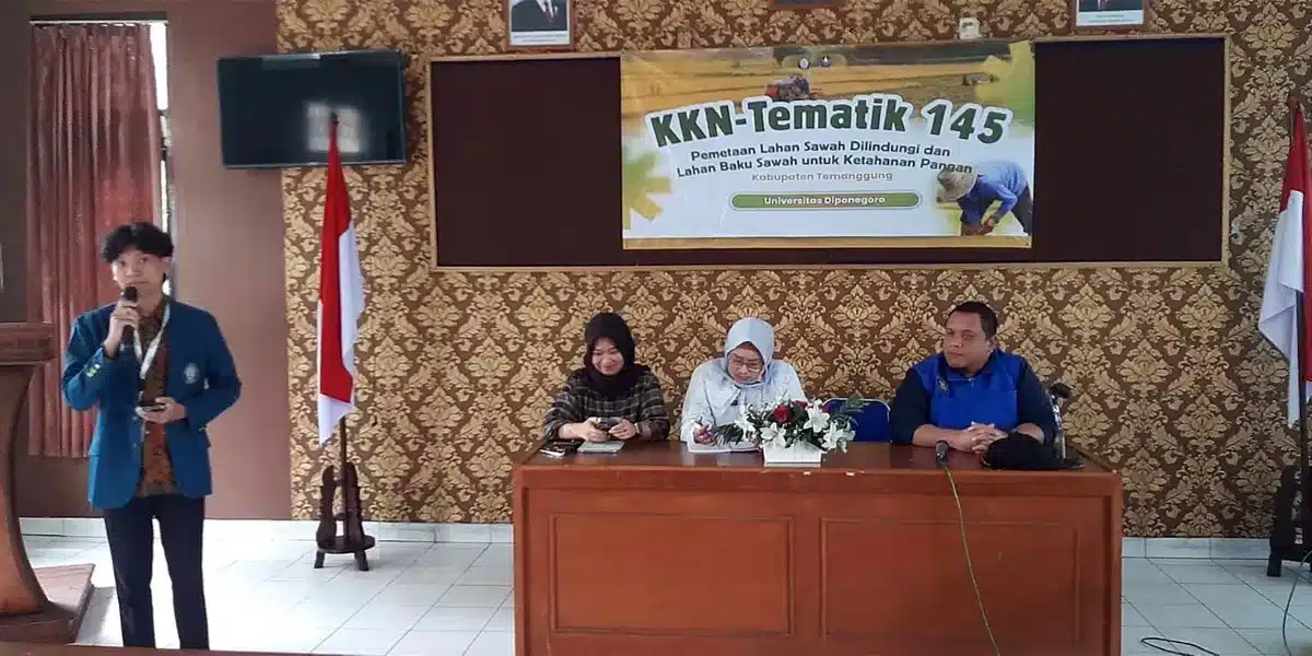
The Coordinating Field Supervisor of the 145th KKNT UNDIP Team, Dr. Anang Wahyu Sejati, S.T., M.T., stated that this mapping activity holds strategic value in maintaining the sustainability of agricultural land. He conveyed this during a meeting with stakeholders at the Office of the Food Security, Agriculture, and Fisheries Agency (DKP3) of Temanggung Regency on Friday, January 30, 2026.
“Efforts to map protected rice fields are an important part of supporting food security. So far, the biggest challenge has been the conversion of agricultural land into non-agricultural areas, especially housing,” he explained.
Further, it was noted that Protected Rice Fields are legally designated food buffer zones for preservation and are prohibited from conversion to other uses. This policy aims to ensure national food security and sovereignty while also maintaining environmental sustainability. Regulations governing LSD are stipulated in several legal instruments, including Presidential Regulation No. 59 of 2019, Minister of Agrarian Affairs and Spatial Planning/National Land Agency Regulation No. 12 of 2020, and Law No. 41 of 2009 on the Protection of Sustainable Food Agricultural Land.
Dr. Anang, who is also a lecturer in the Department of Urban and Regional Planning, Faculty of Engineering UNDIP, as well as Head of the Center for Research Promotion and Publication at LPPM UNDIP, emphasized that student involvement in this program represents a tangible contribution of academia to regional development. The 145th KKNT UNDIP Team collaborated closely with local communities, village governments, and the Temanggung Regency Government apparatus during the mapping process and field data collection.
The program was also synergized with the Department of Public Works and Spatial Planning (DPUPR) of Temanggung Regency. The participating students came from diverse academic backgrounds, including engineering, economics and business, vocational studies, and animal husbandry and agriculture. This cross-disciplinary collaboration strengthened the quality of the mapping results from technical, social, and economic perspectives.
A total of 23 villages across three sub-districts were designated as priority areas for implementing this community empowerment program. This KKNT activity also served as a field laboratory for students to directly apply their academic knowledge while producing innovations relevant to regional needs and government policies.
On the same occasion, the Head of the 145th KKNT UNDIP Team, Saptasta Keane, stated that efforts to protect and control sustainable agricultural land require cross-sectoral and cross-regional support. He expressed hope that the mapping results could be utilized and followed up in accordance with the authority of each stakeholder. “We extend our gratitude to the Temanggung Regency Government and the community for the collaboration that has been established. We hope this activity can provide tangible benefits in supporting sustainable rice field policies for community food security,” he said. (Public Communication/UNDIP/DHW)