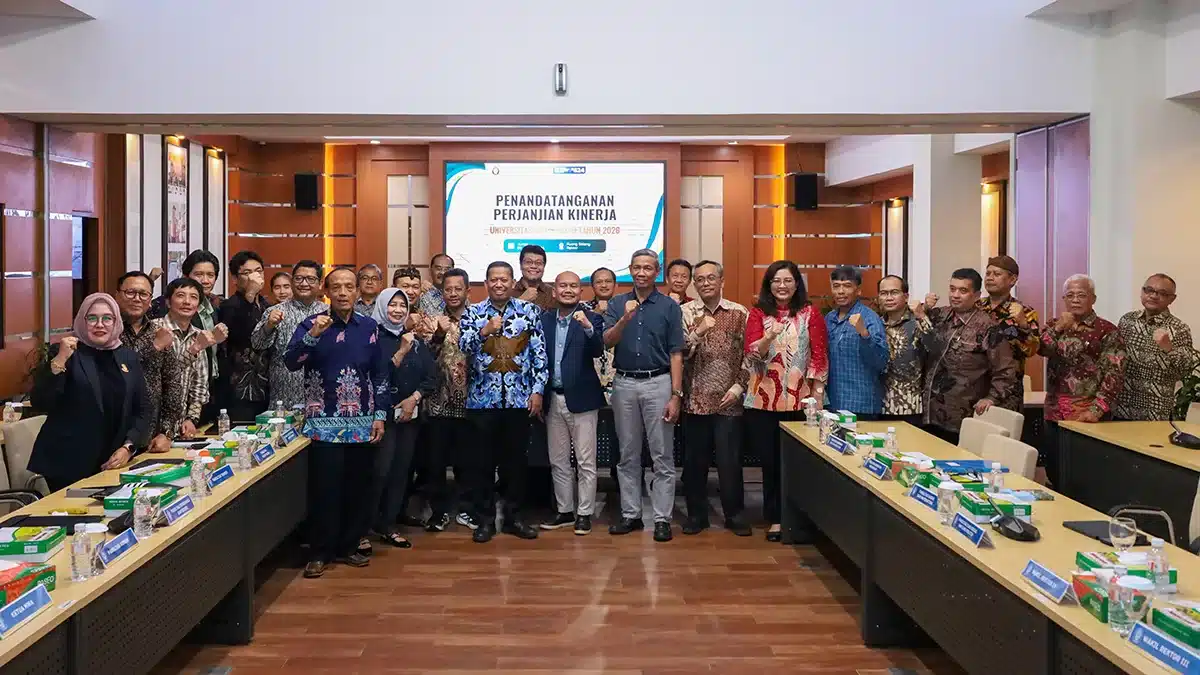
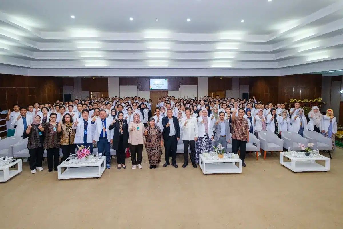
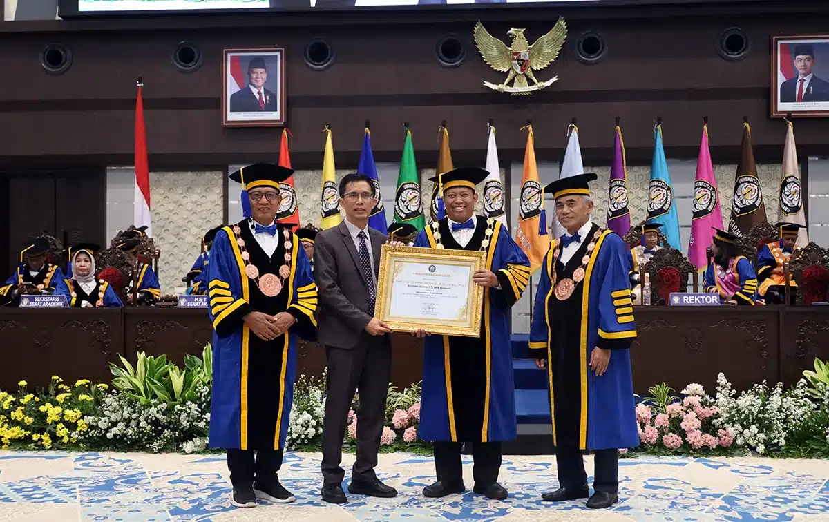
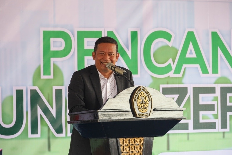
Three prospective professors of the Faculty of Engineering (FT), Diponegoro University (Undip) held a scientific paper presentation organized by the Academic Senate (SA) of Diponegoro University,on Wednesday (25/5). The prospective professors include Dr. Ir. Windu Partono MSc. (Civil Engineering), Dr. Ir. R. Siti Rukayah M.T. (Architectural Engineering), and Ir. Mochamad Arief Budihardjo, S.T., M.Eng.Sc., Ph.D., IPM (Environmental Engineering).
In his presentation, Dr. Ir. Windu Partono MSc. submitted a paper entitled “Developing an Earthquake Microzonation Map as an Effort to Identify Earthquake-Prone Areas”. The development or manufacture of the Semarang City Earthquake Microzonation Map is very necessary in connection with the existence of five shallow fault earthquake sources near to Semarang City. The five sources of the earthquake were the Weleri Fault, Semarang Fault, Demak Fault, Purwodadi Fault and Rawa Pening Fault. The experience of three earthquakes in Yogyakarta 6.3 Mw in 2006, Pidie Jaya Aceh 6.5 Mw in 2016 and Palu 7.4 Mw in 2018 provided lessons about the importance of assessing the potential for earthquake hazards due to earthquake sources located on land. The number of victims and the destruction of infrastructure as a result of the three earthquakes showed that a moderate-strength earthquake with an epicenter on the mainland has the potential to damage and cause large casualties.
“A study of the potential earthquake hazard of Semarang City, in the form of an Earthquake Microzonation Map, can be carried out by comparing the level of shocks that are predicted to be experienced throughout the region due to the earthquake scenario from the five earthquake sources. The scenario is made with the ground shaking that is planned to be received by the City of Semarang according to the Indonesian Earthquake Regulations (SNI 1726). If the predicted shock in an area due to an earthquake scenario is greater than the estimated shock according to the earthquake regulations, then the potential earthquake hazard in that area is quite large. The results of a study of the two closest earthquake sources, the Semarang Fault and the Demak Fault, showed that all buildings built using SNI 1726:2019 are predicted to be strong enough to withstand shocks caused by the scenario of the two earthquake sources with a strength of up to 6.5 Mw,” he explained.
Dr. Ir. R. Siti Rukayah M.T. presented material on “Heritage Architecture and Historic Cities on the Coast as a Prediction Tool for Cities that will Sink”.
“Historic cities on the north coast of Java have existed and are depicted on 15th century maps. Traces of historical cities and ancient buildings in these cities have provided important information about changes in coastlines and the rate of land subsidence that has occurred. The continuation of this research will complement subsidence maps and tidal maps as well as predictions of coastal cities that will sink. Architecture and historic cities on the coast are facing a land subsidence disaster,” she said.
Furthermore, she said that the results of this research are important as a building mitigation measure against tidal flooding or sea flooding as well as an effort to protect historic areas (Law No. 11 of 2010, Cultural Conservation). The research results are useful as a complement to land measurement mapping activities by civil engineering, geodesy and geological engineers. The finding of this research is the need for a conservation model for areas and ancient buildings that experience the phenomenon of tidal waves and land subsidence.
Efforts to protect ancient buildings and heritage areas in Law No. 11 of 2010, need to consider the problems of rob and land subsidence. This is done as an anticipation in facing the threat of sinking coastal cities. The existence of these sites, maritime archaeological heritage, architecture and historic cities located on the north coast of Java is important for architects and city design in conserving the architecture of historic areas that are responsive to land subsidence and rob as well as in designing sustainable cities.
In the next session, Ir. Mochamad Arief Budihardjo, S.T., M.Eng.Sc., Ph.D., IPM discussed “The Concept of Sustainable Urban Waste Management to Support the Implementation of a Circular Economy”. The concept of sustainable waste management is able to support the achievement of a circular economy. However, the system transition from a linear economy to a circular economy requires time, effort and considerable challenges. Conventional waste management patterns are still dominated by linear economic patterns with an emphasis on waste processing at the TPA (landfills).
“The potential for pollution due to leachate and excess methane gas escaping into the environment needs to be addressed by developing new materials that are cheap, easy to obtain, and easy to produce. Garbage can be a material that serves as a protection for the environment from pollution. Its protective ability has been proven empirically in various factors and certain environmental conditions. However, this potential needs to be studied further for the use of these materials. On the other hand, the pattern of sustainable waste management within the scope of the circular economy is starting to be promoted on a large scale because of the limited landfills to accommodate waste in various cities in Indonesia,” he said.
According to him, this needs to be a concern so that the transition period from a linear to a circular system can run well. The campus/university is an ideal place to pilot this transition. A campus with a small scope can provide an example for the city government to manage waste properly. The pattern of sustainable waste management has also been proven to be able to reduce greenhouse gases emitted. (Lin – Public Relations)
