


UNDIP, Keerom, Papua (21/8) – The Patriot Expedition Team of Universitas Diponegoro (TEP UNDIP) is promoting the transformation of land governance in the Senggi Transmigration Area, Keerom Regency, Papua, by developing a land information system based on a Web Geographic Information System (WebGIS). The innovation is designed to integrate information on land conditions, status, legality, use, and development potential as an information base to support more measurable government decision-making.
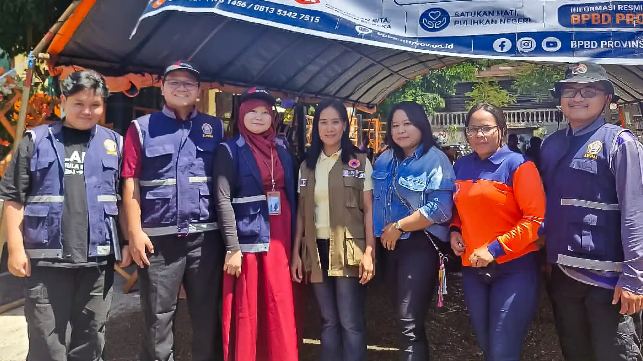
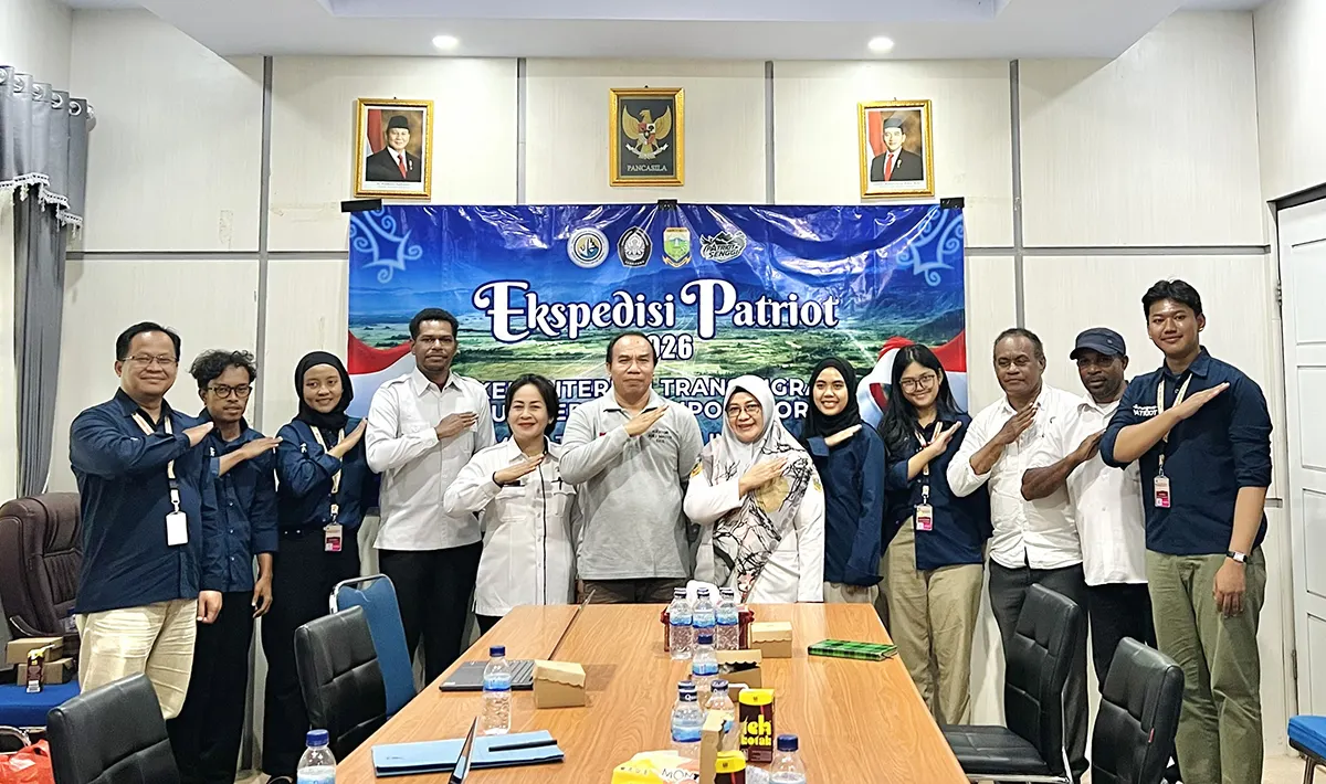
The initiative received support from the Keerom Regency Regional Government Organizations (OPDs) during a coordination meeting and Focus Group Discussion (FGD) conducted by TEP UNDIP at the Keerom Regency Regional Secretariat Office on Thursday (13/8). The meeting was part of efforts to build cross-sectoral synergy and to identify data needs and land management issues in the transmigration area, particularly in the Woslay Transmigration Settlement.
The development of the WebGIS is part of TEP UNDIP’s integrated land management concept. This approach connects various aspects of area management, ranging from land data, land status and legality, and land use to area conditions, economic potential, development opportunities, and investment prospects.
Through the spatial-based system, various information held by different agencies is expected to be integrated, allowing the overall condition of the area to be viewed more comprehensively. The data can then serve as a shared reference for identifying problems, determining management needs, and formulating development directions based on actual field conditions.
“Integrated data is important so that land conditions can be viewed more comprehensively. Through a WebGIS-based information system, this information can later serve as a shared reference for understanding the area’s conditions, needs, and future development potential,” said Dr. Sariffuddin, Head of Team 16 of the 2026 UNDIP Patriot Expedition.
He explained that the platform is being developed using open-source technology and is intended to contain several key categories of land information. “We are utilizing open-source technology to build the WebGIS platform, which will at least include information on land administration or land tenure, the economic value of land or land value, as well as land use and site analysis,” he explained.
The need for data integration was also evident from discussions with the Keerom Regency OPDs. The Keerom Regency Land Office expressed its readiness to support the study’s data requirements and technical aspects. Land measurement data is a key source of information for identifying land conditions in the transmigration area.
The Keerom Regency Office of Manpower and Transmigration also highlighted the importance of matching land and transmigration data. Land measurement data for transmigration areas is reportedly already available at the Land Office, while some transmigrants still do not have certificates for their residential land. This situation demonstrates the need for data integration to identify land management needs more clearly.
“Transmigration-related measurement data is already available at the Land Office, and measurements have previously been carried out several times. The data needs to be matched to identify which parts remain incomplete and require follow-up. With more comprehensive data, the recommendations produced by the Patriot Expedition Team will be easier for us to follow up on,” said Berth Berotabus, a representative of the Keerom Regency Office of Manpower and Transmigration.
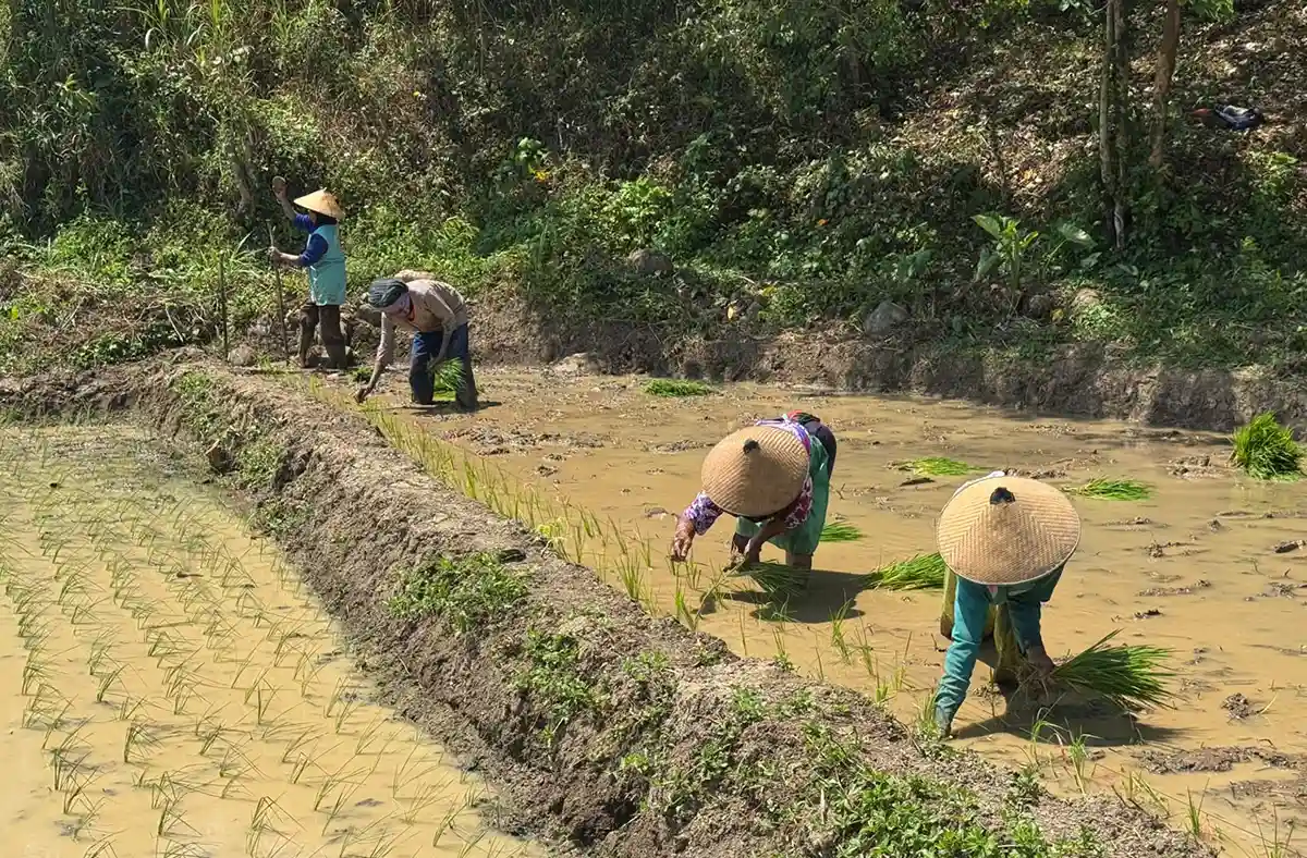
In addition to certification issues, land utilization was also a key concern in the discussion. Some transmigrants in settlement unit (Satuan Pemukiman / SP1) reportedly already hold agricultural land certificates, but the land has not been fully utilized. This condition demonstrates that land management should not focus solely on legal status but also consider actual utilization and development potential.
From a regional planning perspective, the Keerom Regency Regional Development Planning, Research, and Innovation Agency (Bapperida) emphasized the importance of conducting an area review before proceeding with further development. The review should consider Keerom’s strategic position between Papua Province and Highland Papua Province, as well as the area’s potential to support regional economic development.
“A review of the area needs to be conducted so that the development direction of Senggi can be viewed comprehensively, including by considering Keerom’s position between Papua Province and Highland Papua Province. More comprehensive information about the area’s conditions will be important in assessing its potential as an agricultural food hub and a center for accelerating economic growth,” said a representative of Bapperida Keerom.
Bapperida Keerom also encouraged the Legal Division’s involvement in subsequent discussions to clarify the area’s history and the legal aspects stipulated in the Regent’s Decree. This step is necessary to strengthen the area review and management process so that the resulting recommendations have a clear legal basis.
The various inputs from the OPDs form part of the process of developing a database and mapping the conditions of the Senggi Transmigration Area undertaken by TEP UNDIP. In addition to land and legal aspects, the team will further examine land utilization, accessibility, socioeconomic conditions, regional potential, and other factors influencing the development of the Woslay Transmigration Settlement.
The integrated land management concept developed by TEP UNDIP is part of an effort to support Trans Tuntas as an agenda to accelerate the transformation of transmigration. Within this framework, investment data has also been incorporated into the analysis to assess the area’s readiness more precisely.
The development of the WebGIS-based land information system is expected to strengthen the connection between data, field conditions, and planning needs. With integrated information, the regional government will have a stronger basis for understanding land-related issues and identifying opportunities for area development in accordance with the area’s characteristics and potential.
In the future, the results of data collection, mapping, cross-sectoral coordination, and analysis of area conditions will serve as the basis for refining the WebGIS-based land information system. The system is expected to serve as a supporting instrument for the government to understand the area better, integrate cross-sectoral information, and formulate more systematic and sustainable policies for the management and development of the Senggi Transmigration Area.
Through this innovation, collaboration between TEP UNDIP and the Keerom Regency Government plays an important role in ensuring that the system being developed is relevant to local needs and can support land management in the Senggi Transmigration Settlement Area. This concrete initiative also reaffirms UNDIP’s commitment to ‘Noble and Valuable UNDIP’ in supporting the achievement of the SDGs, particularly SDG 11 (Sustainable Cities and Communities) and SDG 17 (Partnerships for the Goals), through cross-sectoral collaboration for regional development. (Public Communication/UNDIP)