Semarang – Researchers from the Institute for Research and Community Service (Lembaga Penelitian dan Pengabdian Masyarakat / LPPM) of Universitas Diponegoro have implemented mangrove ecosystem rehabilitation technology as a carbon capture and storage (CCS) system in the Ibu Kota Nusantara area, aiming to establish a Smart-Sustainable Forest City. This applied research is funded by the Directorate of Research, Technology, and Community Service, Ministry of Education, Culture, Research, and Technology, in 2024.
More than half of Indonesia’s mangrove ecosystems have been degraded, primarily due to aquaculture activities. Similarly, the mangrove area in Bumi Harapan Village, Penajam Pase Utara, Kalimantan Timur, which holds potential as a carbon buffer for IKN, has suffered from land conversion and damage. Additionally, the transformation of IKN’s forest areas into office and residential zones poses a risk of increased carbon emissions.
According to Prof. Denny Nugroho Sugianto from the Faculty of Fisheries and Marine Science UNDIP, the development of Bumi Harapan Village as a mangrove ecosystem offers significant potential as a CCS system supporting IKN. Apart from environmental restoration, CCS development can also generate a sustainable new economy, contributing to IKN’s vision of becoming a Smart-Sustainable Forest City. This idea aligns with Indonesia’s goal of achieving Net Zero Emissions by 2060 through mangrove ecosystem services, particularly carbon capture and storage.
Prof. Denny, a member of UNDIP’s SDGs Center, stated that the collaboration between UNDIP, BRGM, and the Otorita IKN aligns with UNDIP’s core scientific principle of Tropical and Coastal Region Eco-Development. This initiative also supports the implementation of the Sustainable Development Goals (SDGs), including goal 13, Climate Action; goal 14, Life Below Water; and Goal 15, Life on Land.
Furthermore, Prof. Denny and his team added that the solutions offered to resolve problems or challenges in developing mangrove ecosystems in the Bhumi Harapan Village area as a carbon capture and storage system for the IKN area to realize a smart-sustainable forest city are (i) Using mangrove rehabilitation technology that has been implemented in the coastal area of Demak Regency since 2021 to support disaster mitigation efforts in coastal areas. This technology is a combination of effective coastal protection structures and functions as a sediment trap for mangrove growth. The application of this mangrove rehabilitation technology has been able to produce a new mangrove ecosystem on damaged land with excellent results and in a relatively short time; (ii) Using an approach to calculating carbon reserve projections and valuing ecosystem services with the rehabilitation results scenario carried out and compiling a mangrove restoration roadmap to optimize the CCS function and its carbon service scheme.
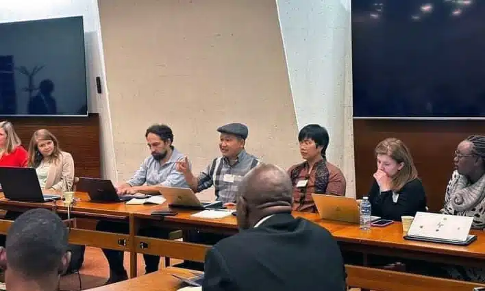
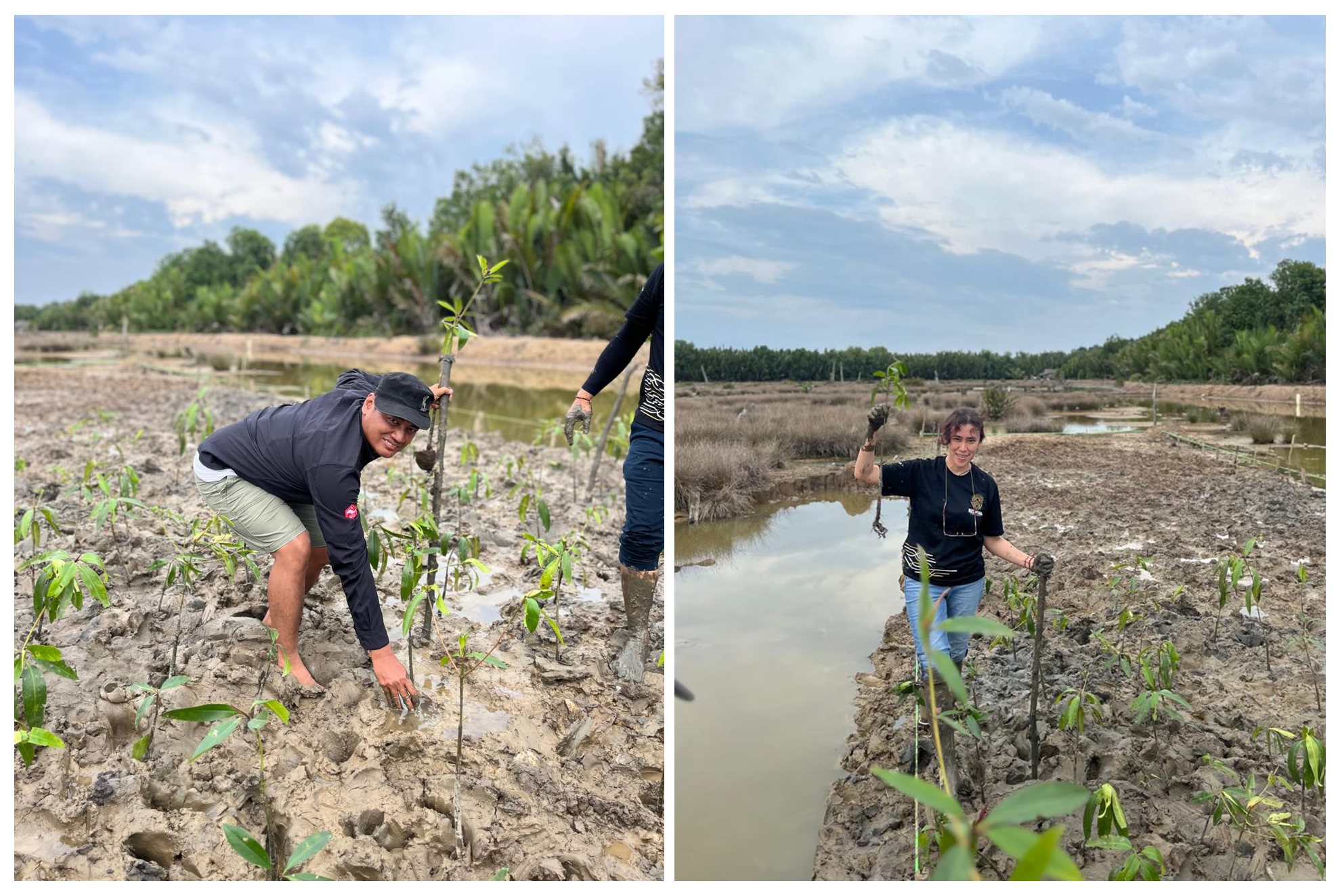
Present in the application of technology in the field as team members include Prof. Bulan Prabawani from the Faculty of Social and Political Sciences, Prof. Wiwandari Handayani, and Dr. Dessy Ariyanti from the Faculty of Engineering. In addition, also involved in this activity are policymakers from the BRGM, Agung Rusdiyatmoko, Mayasih Wigati, and Giri Suryanta and the Otorita IKN.
The application of this rehabilitation technology is carried out by creating an area/space for planting mangroves measuring 5 x 20 meters (100 m2), which also serves as a Natural Laboratory using economical, easily obtained, and environmentally friendly materials, such as wood and bamboo. Basically, this technology is made with the following stages: (1) cleaning the rehabilitation area from garbage or other unnecessary objects, (2) creating a 5 x 20 meter mangrove rehabilitation area in each study area with wood, bamboo or local raw materials and (3) filling sediment/soil around the mangrove area. “The sediment/soil that is filled has the same characteristics as the sediment on the land. “Meanwhile, the calculation of the volume of sediment/soil filling is determined based on the land area and water depth on the land to be rehabilitated,” said Denny.
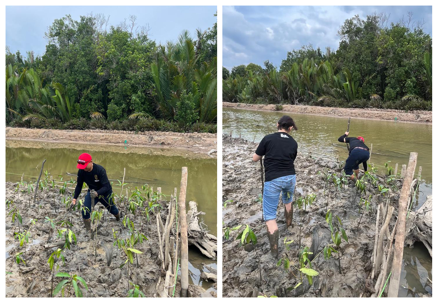
Photo source: BRGM – KLHK
