
UNDIP, Semarang (13/5) – How can local governments map tax potential more accurately and make data-based decisions? That question encourages collaboration between Universitas Diponegoro student, researchers of the Department of Regional and Urban Planning (PWK) UNDIP, and the Department of Solution Engineer PT. Esri Indonesia in developing Spatial Tax Intelligence, a geospatial-based approach that supports more adaptive, transparent, and data-based local tax governance.
This research utilizes the integration of spatial data and taxation data to identify spatial-tax mismatch, which are the mismatches between the economic activities of a region and the outcoming tax contributions. Through this approach, local governments can obtain a more comprehensive picture of the tax potential distribution while identifying areas that need contemplation in the management of regional revenue.
As part of the system development, the research team with PT. Esri Indonesia designed a geospatial decision support system that able to visualize tax data through a spatial-based dashboard. This system is designed to help local governments map tax potential, identify areas with low compliance levels, and support data-driven decision making processes in policy making.
Muhammad Helmi Candra, a student of the Master of Environmental Science (MIL) Study Program at UNDIP Postgraduate School who was involved in the research, explained that the geospatial intelligence approach opens up new opportunities in strengthening smart governance.
“Participation in ICSCI 2026 is an important momentum for us to introduce the implementation of smart governance based on geospatial intelligence from Indonesia to the international forum. Collaboration between academics and the industry was also an important factor in encouraging the development of more applicative, adaptive, and sustainable urban solutions,” he said.
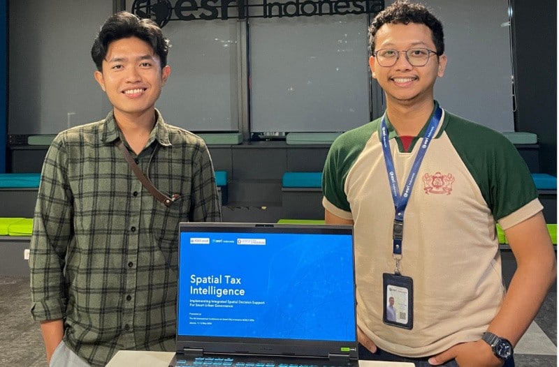
The results of the research were presented in The 6th International Conference on Smart City Innovation (ICSCI) 2026 held by Smart City Universitas Indonesia on May 11th–12th, 2026 at Grand Mercure Kemayoran, Jakarta. Conference with the theme “Smart Governance and Technology-Driven Urban Transformation for Sustainable and Resilient Cities” gathers researchers, practitioners, governments, and industries to discuss the transformation of urban governance based on technology and data.
The participation of Muhammad Helmi Candra in this international forum is part of the implementation of the World-Class University (WCU) program of Universitas Diponegoro through the Student Go International (SGI) scheme which encourages students to actively participate in international academic forums to expand global networks, increase research capacity, and strengthen the international exposure of students’ scientific work.
This collaboration shows the commitment of Universitas Diponegoro in developing multidisciplinary research that connects the academics and industry to produce applicable innovations for urban governance. In line with the spirit of “Noble and Valuable UNDIP”, the development of Spatial Tax Intelligence is expected to contribute to enhancing smart city, urban analytics, and digital governance, as well as supporting the achievement of Sustainable Development Goals (SDGs), especially SDG 9 (Industry, Innovation and Infrastructure), SDG 11 (Sustainable Cities and Communities), SDG 16 (Peace, Justice and Strong Institutions), and SDG 17 (Partnerships for the Goals). (Public Communication/ Faculty of Engineering/ Effata Naomi ed. Nurul)