
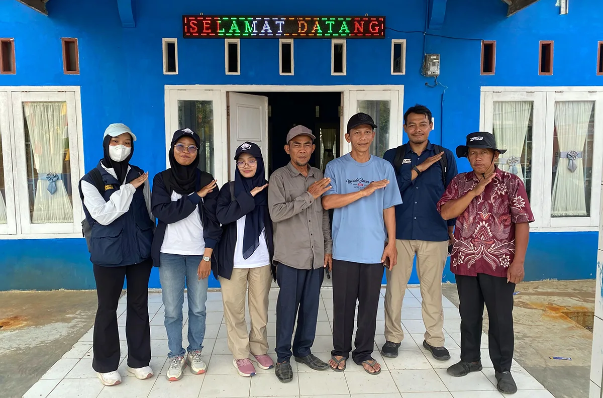
UNDIP, Senggi, Keerom Regency (4/9) – A concrete step toward accelerating infrastructure development and agrarian mapping in remote areas of Indonesia is being taken by Team 13 of the Diponegoro University Patriot Expedition (TEP UNDIP), led by Pangi, S.T., M.T. The team has carried out basic mapping activities in the Senggi Transmigration Area (KT Senggi), specifically in Settlement Units (SP) 1 and SP 2, Keerom Regency, Papua Province. This strategic initiative aims to provide up-to-date and accurate basic spatial data to optimize the sustainable development and management of the transmigration area.
The basic mapping activities in SP 1 and SP 2 of KT Senggi successfully produced a detailed large-scale map at a scale of 1:5,000. This high-precision map is expected to serve as a vital instrument for land parcel management (agrarian affairs), planning the locations of rice field demonstration plots, and providing a reference for addressing and improving infrastructure within residential areas.
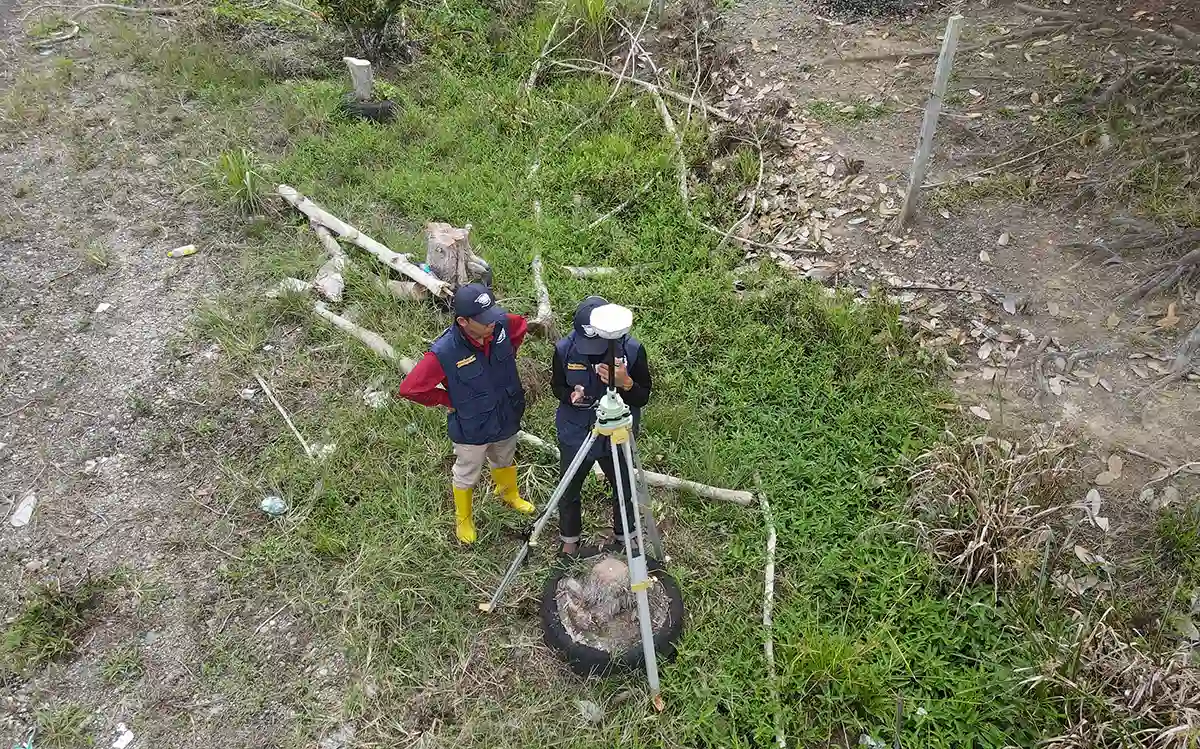
To produce highly precise spatial data, the mapping process began with ground control point measurements at SP 1 and SP 2. These control points serve as georeferencing references, ensuring that all mapping outputs meet the technical standards for large-scale mapping. Once the control points had been established, the team acquired aerial data using unmanned aerial vehicle (drone) technology. The use of drones provides an efficient solution, as they can cover large areas in a relatively short time while producing high-resolution aerial imagery to serve as the basis for map development.
The availability of the 1:5,000-scale base map provides several tangible benefits for accelerating development and improving community welfare in KT Senggi, including:
- Land Parcel Management (Agrarian Affairs): Serving as an official basis for determining land boundaries and providing certainty regarding land ownership status for transmigrant residents.
- Rice Field Demonstration Plot Planning: Supporting the determination of locations and areas for productive rice farming demonstration plots for local communities.
- Residential Infrastructure Management: Serving as a primary reference for development planning, road construction and improvement, and the provision of public facilities in SP 1 and SP 2.
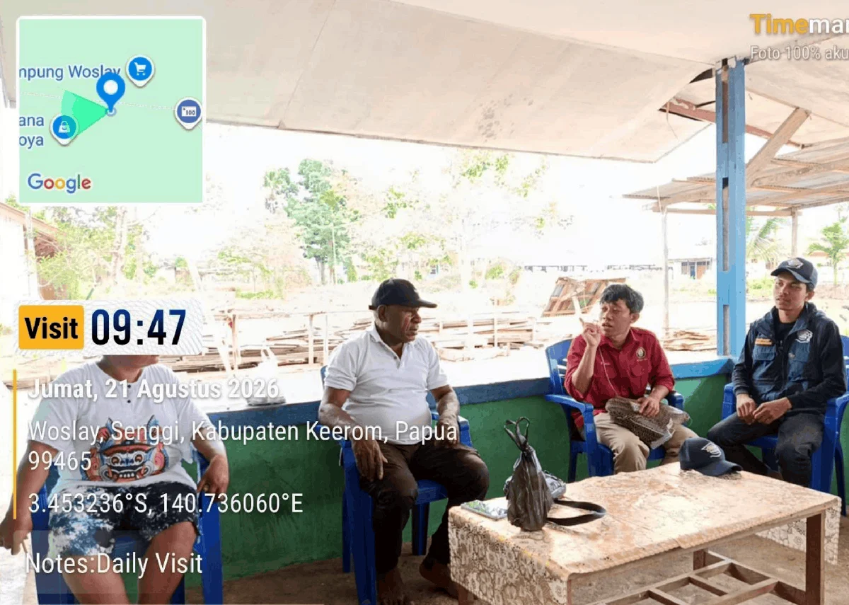
The availability of this up-to-date spatial data has been warmly welcomed and eagerly anticipated by customary leaders and local communities. The traditional leader of the SP 2 community (Ondoafi), Patras Kepi, expressed his appreciation for the initiative. The mapping activity is expected to accelerate development planning processes in KT Senggi.
“We appreciate and are grateful for this mapping activity. The printed physical map is important to us. We also hope to receive the results, because with a precise and accurate map, the planning and implementation of development in the Senggi Transmigration Area can certainly proceed much more quickly,” said Patras Kepi.
TEP UNDIP’s innovative idea in this remote, underdeveloped, and frontier area of Papua represents a concrete contribution to achieving the Sustainable Development Goals (SDGs), particularly SDG 9 (Industry, Innovation, and Infrastructure) through precision mapping, SDG 11 (Sustainable Cities and Communities) through planned area development, and SDG 17 (Partnerships for the Goals) through collaboration between academics and local communities.