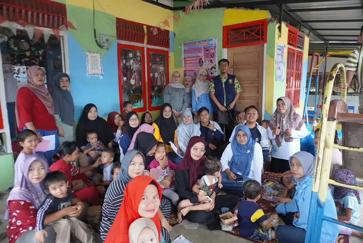
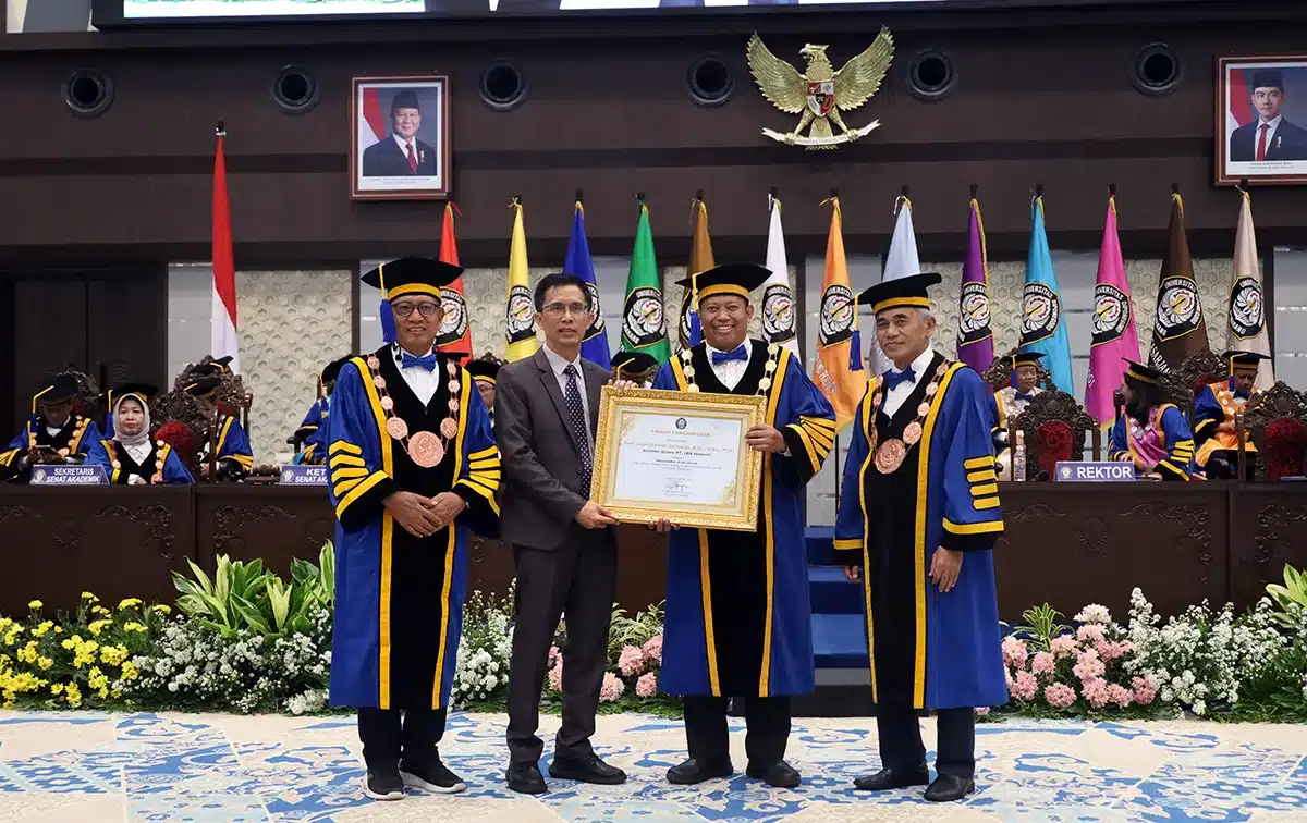
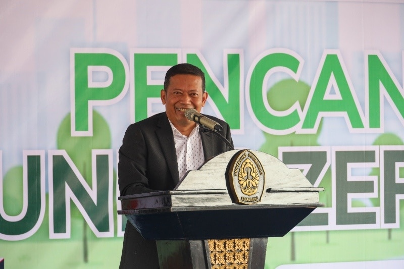
On last May, community service activities were carried out by Undip Team in Teluk Awur Village, Tahunan District, Jepara Regency. This activity is a collaboration between Department of Oceanography, Center for Coastal Disaster Mitigation and Rehabilitation Studies (CoREM) and the Center for Integrated Coastal Management Zone Management (Center for ICZM). These activities are training on the use of Global Position System (GPS) technology to determine the fishing ground or fishing areas, especially crabs. The training materials were provided by Dr.Sc. Anindya Wirasatriya, ST., M.Sc from Oceanography Department, Faculty of Fisheries and Marine Sciences Undip who is also member of the research team of CoREM; and Dr. Aris Ismanto, S.Si, M.Si as the representative of research team from Center for ICZM. This training is given to the community of Jasa Laut Joint Business Group and Sido Makmur Joint Business Group in Jepara, Central Java.
The activity started with face-to-face socialization from Undip regarding the benefits and how to operate GPS. The activity is carried out by implementing health protocols to avoid the transmission of Covid-19 virus. The community was very enthusiastic in participating in this activity and there was quite an intensive discussion. After the socialization activity, a joint field review was carried out which was followed by handover of the GPS module and two GPS units to the residents of Teluk Awur coast.
As publicly known, Jepara Regency has great potential of marine resources, including crabs. Through this training, it is hoped that in the future, the community especially fishermen can be more independent and be able to optimize their catches so that it will improve their welfare.
Doc: Handover of Global Position System (GPS) to Jasa Laut Joint Business Group and Sido Makmur Joint Business Group
Translated by: Titis (Public Relations)
