Prior rural planning and development must recognize the nature of multi-functionality and manageable space. Multi-functionality is intended to see and assess rural areas from the actual challenges they face. These actual challenges are related to values, community, economy, and environmental changes which then become an interconnected whole and require a response in the form of integrated and coordinated policy design and planning within a spatial gradient framework.
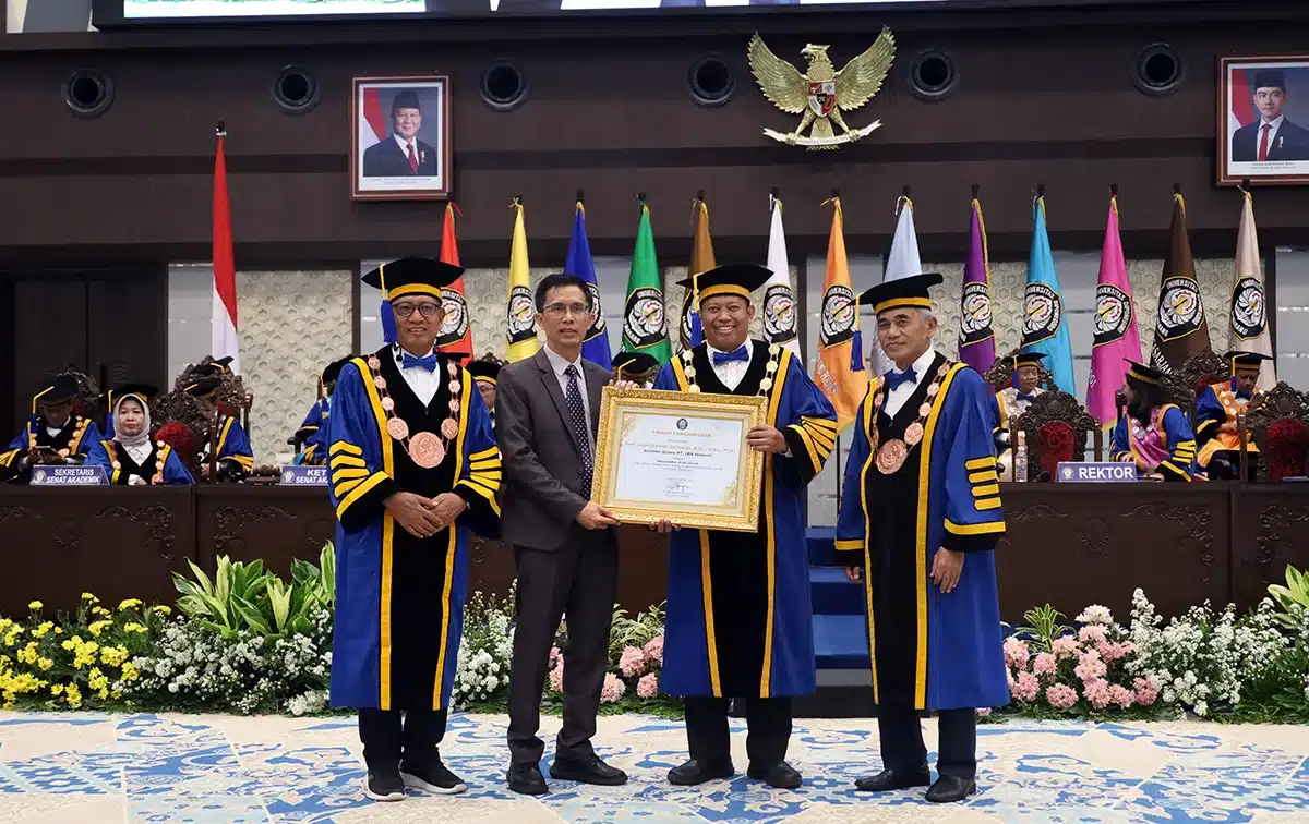
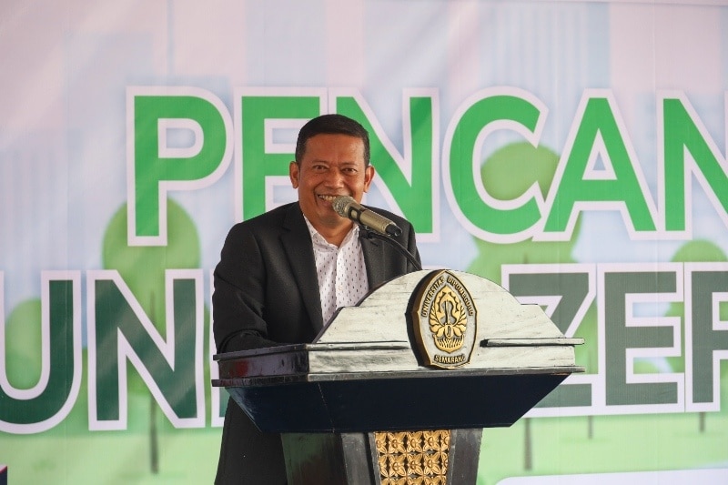
This was conveyed by Prof. Dr. sc.agr. Iwan Rudiarto, S.T., M.Sc., in his scientific speech entitled “Multi-Functionality and Spatial Gradients in Rural Planning and Development” which was delivered in front of the Open Session of the Academic Senate of Diponegoro University at his inauguration as Professor of Urban and Regional Planning at the Faculty Engineering (FT) Diponegoro University (Undip). The event took place on Tuesday (14/06) at Prof. Soedarto SH Building, Undip Tembalang campus.
He explained that the spatial gradient is a parameter in space within an area which is a reflection of the economic, social, administrative, political, cultural, and environmental aspects of rural communities. The socio-economic conditions and development of rural communities are closely related to the availability of resources (natural resources and human resources) which are supported by other resources such as financial, social, and physical or what is called livelihood assets.
The availability of these resources is the key in rural planning and development where most rural communities still depend on the availability of resources, especially land resources. The role of land resources has an important role in determining whether or not people’s lives are guaranteed. “Disruptions to the physical condition of the environment will have a direct impact on the socio-economic conditions of the community such as land degradation.” said Prof. Iwan.
According to him, the problem of land degradation in rural areas has a real impact on people’s lives. This is a challenge for researchers to be able to develop an assessment of the vulnerability and resilience of rural communities as a result of land degradation.
“This assessment plays a role in making decisions about what should be done to overcome the problems of land degradation and the vulnerability of rural communities’ resilience. This challenge is also relevant to the global phenomenon of climate change, which occurs in many rural areas which directly impacts productivity levels.” explained the Chair of the Association of Indonesian Planning Schools (ASPI) for the 2021-2023 period.
The husband of Prof. Dr.–Ing. Wiwandari Handayani S.T., M.T., M.P.S. explained that multi-functionality in rural planning and development does not only look at the context of the rural area itself. In the context of rural-urban relations, what can be done is to look at a more dynamic picture of the movement of rural communities and also developments around rural areas, especially from the spatial aspect.
The movement of rural communities affects the development and transformation of villages resulting from the flow of people, goods, and money. “The impact of spatial development is urbanization or also the transformation of rural areas as a result of urbanization or urban agglomeration.” said Prof. Ivan.
The movement of rural communities to cities is a phenomenon that has been going on for decades where the agricultural sector is considered unable to accommodate the availability of existing manpower. In Indonesia, the ratio between agricultural land and labor in a farmer’s household is on average less than 1 hectare, which makes rural communities look for better opportunities by migrating to cities.
The recipient of a Master’s degree from the Technische Universitaet Muenchen-Germany in the field of Land Management and Land Tenure in 2005 revealed that the movement of rural communities to cities will produce a separate movement pattern which can then be identified further by looking at the pattern of money flow/remittance that occurs in the development of the origin village of the migrants.
Multi-functionality concerns rural issues and problems in a single spatial gradient associated with values, community/social, economic, and environmental changes. This spatial gradient unit can be distinguished by topography, rural character/rurality, and functionally.
“Topographically, the context of multi-functionality can be described by the different elevations of a rural area (high, medium and lowlands). Based on its character/rurality, spatial gradient is used to describe the typology of the rural-urban area of a transformation process that occurs, land management, and the context of disaster vulnerabilities. Meanwhile, functionally, multi-functionality and spatial gradient can be described in the form of a rural-urban relationship.” said the graduate of the Doctoral Program in Rural Planning and Development at the University of Hohenheim-Germany in 2010.
Prof. Iwan added that multi-functionality in spatial unity is an important part of planning and rural development in a series of village-urban/rural-urban continuum. Multi-functionality in rural planning and development includes aspects that are integrated into one spatial gradient covering values, community, social, economic, and environmental changes.
Scientifically, especially in the context of regional and village planning and development, the preferred approach is to understand the interrelation, interaction, and interdependence between the various previously mentioned aspects.
A holistic understanding of seeing problems with the dynamics that occur in each spatial gradient requires a system thinking to provide recommendations and solutions that will lead to the advancement of science and technology, especially in efforts to further advance rural areas through creative, intelligent, and innovative ideas.
Prof. Dr. sc.agr. Iwan Rudiarto, S.T., M.Sc., is the 42nd Professor at the Faculty of Engineering Undip. The total number of active Undip Professors currently is 161 Professors.
