


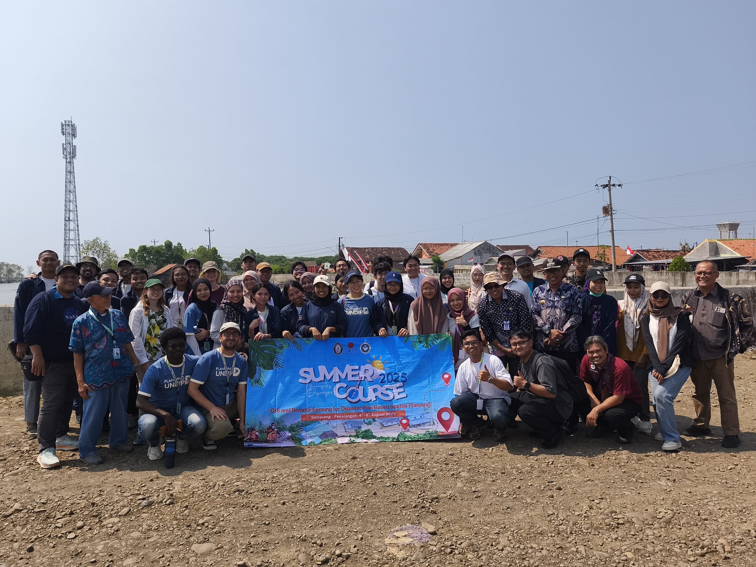
UNDIP, Semarang (August 11, 2025) – The Faculty of Engineering at Universitas Diponegoro (UNDIP) demonstrated its commitment to advancing science with a direct impact on society and the environment. The faculty has successfully organized the International Summer Course “GIS and Remote Sensing for Disaster Risk-Based Spatial Planning,” held from August 4 to 31, 2025, under the World-Class University program.
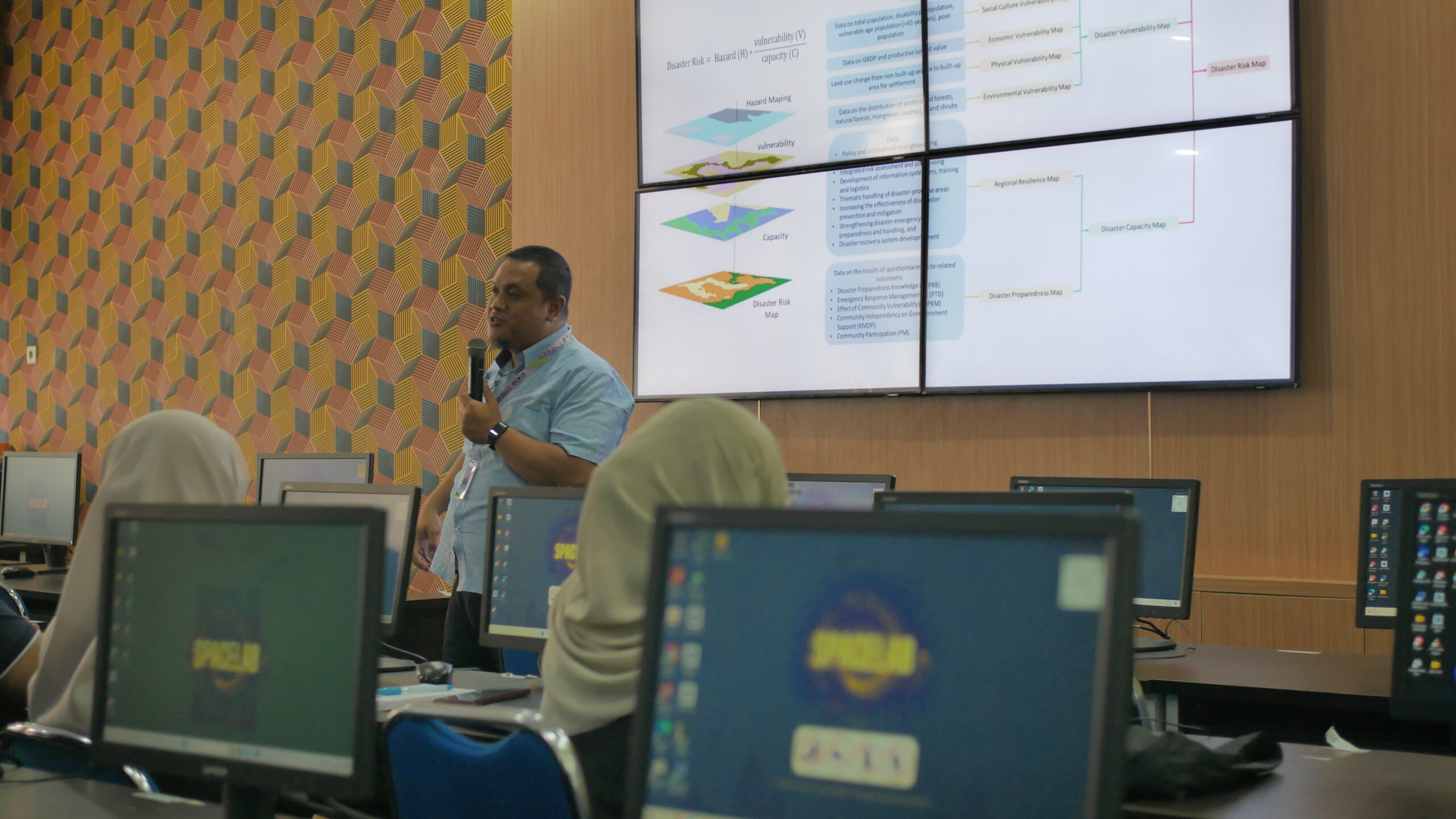
The opening ceremony took place on August 4, 2025, at Engineering Hall, Eko Budihardjo Building, 5th floor, Faculty of Engineering, UNDIP. The program was divided into two sessions: an onsite session (August 4–8, 2025), officially opened by UNDIP’s Director of Global Partnership Reputation and Connectivity, followed by an online session (August 11–31, 2025). The program was coordinated by the Geomatics and Planning Laboratory, Department of Urban and Regional Planning, Faculty of Engineering, led by Dr. Anang Wahyu Sejati.
The course combined computational GIS modeling at Spacelab with field activities. It was co-hosted in collaboration with Chiba University, Japan (CEReS Overseas Joint Research Program), and the University of Hawai’i at Mānoa, USA (Henry Luce Foundation).
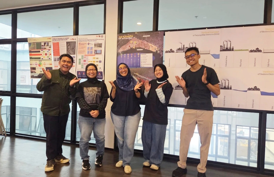
A total of 118 participants from 24 countries joined the program, representing institutions such as Alexandria University (Egypt), Middle East Technical University (Türkiye), Chiba University (Japan), University of Hawai’i at Mānoa (USA), Universiti Teknologi Malaysia, International Islamic University Malaysia, Universiti Putra Malaysia, Universiti Teknologi MARA (UiTM, Malaysia), Tribhuvan University (Nepal), Ain Shams University (Egypt), Kathmandu University (Nepal), South China University of Technology (China), Nagoya University (Japan), Samsun University (Türkiye), and Northern Arizona University (USA). The program also welcomed two German researchers affiliated with the Bintari Foundation.
Field activities were conducted in collaboration with the Pekalongan City Government, including the Regional Development Planning Agency (Bapperida), the Regional Disaster Management Agency (BPBD), and the Department of Public Works and Spatial Planning (DPUPR)—the fieldwork aimed to validate flood disaster modeling results and strengthen spatial planning-based mitigation efforts.
The initiative not only supports UNDIP’s goal of becoming a World-Class University recognized internationally but also contributes to policy evaluation frameworks for the Pekalongan City Government. This community service aligns with UNDIP’s vision as a leading research university, particularly in coastal and disaster management, reinforcing its mission of “Noble and Valuable UNDIP.” (Public Communication/ Faculty of Engineering/ Department of Urban and Regional Planning)